 Ming Yang
What’s Inside
I’ve lost count of how many times I’ve watched tourists freeze in front of the Cangshan ticket board. Three cable cars, four ticket zones, and a trail map that looks like a spiderweb. Most end up picking a route that either burns half their day in queues or leaves them with sore legs and zero views.
Let me fix that. After guiding hundreds of groups up this mountain, I’ve cracked the code. Here’s your no-nonsense guide to reading the Cangshan Mountain map and picking the perfect route for your fitness, budget, and time.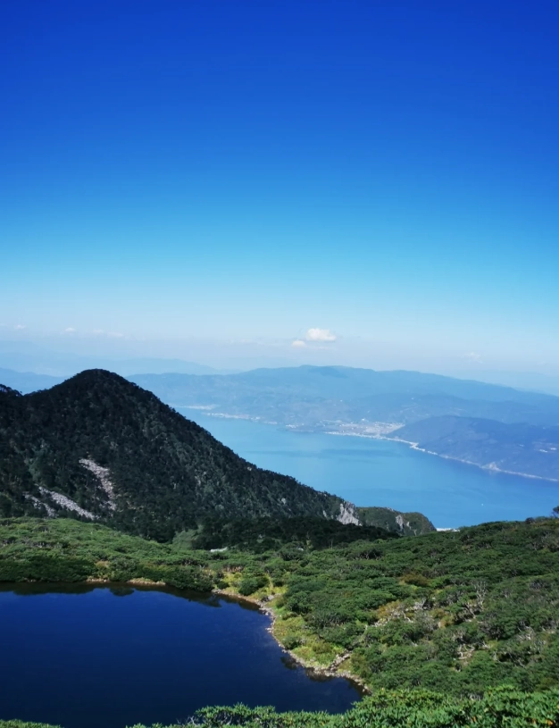
Why the Cangshan Map Confuses Everyone
First, a reality check: the official map at the entrance is in Chinese only, with tiny font and no altitude markers. Tourists often mistake the Gantong Cable Car for the main line—it’s actually the shortest and lowest. I once had a couple who bought tickets for the wrong cable car and ended up at a tea house instead of the summit. Don’t be them.
The key is understanding that Cangshan is a ridge with three distinct cable car corridors. Each serves a different experience: summit lakes, mid-level hiking, or temple visits. Let me walk you through each.
The Three Cable Car Routes – Which One Fits You?
Below is the honest breakdown. I’ve rated them by “WOW factor”, crowd level, and hidden catches.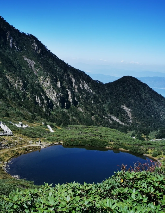
| Route | Length | Peak Altitude | Best For | My Rating |
|---|---|---|---|---|
| Ximatan Cable Car | 5.5 km (longest in Asia) | 3920 m | Summit Lake + 360° view | ★★★★★ |
| Gantong Cable Car | 1.6 km | 2600 m | Easy walk + temples | ★★★☆☆ |
| Zhonghe Cable Car | 2.5 km | 2900 m | Hikers connecting to Jade Belt Road | ★★★★☆ |
Ximatan Cable Car – The Star Attraction
This is the one you see in all the Instagram photos. It takes you straight to the Ximatan Plateau where you can walk to Longquan Lake (about 15 min flat). The lake reflects the mountain perfectly on calm mornings. Watch out: the platform at the top is often packed by 11 AM. I tell my groups to go left immediately—most tourists go right, so you’ll get the lake almost to yourself.
Gantong Cable Car – Quiet but Limited
This one is shorter and cheaper. It drops you near Gantong Temple and a short hiking loop. Great if you have elderly travelers or want a half-day escape without altitude sickness. But don’t expect sweeping vistas—you’re still below the tree line.
Zhonghe Cable Car – The Hiker’s Entry
Mid-range in length and altitude. From the top, you can walk south along the Jade Belt Road (2.5 km flat gravel path) to connect to the Ximatan area. This is my favorite combination: take Zhonghe up, walk the Jade Belt, then descend via Ximatan. You avoid backtracking and see two different ecosystems.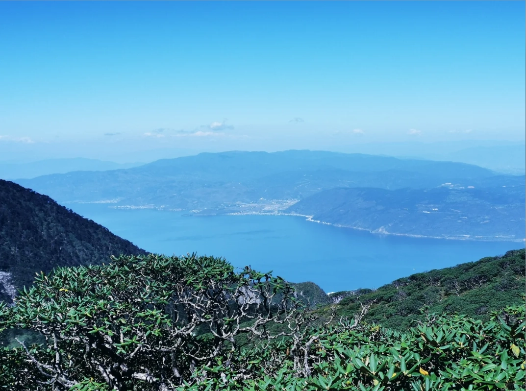
Ticket Prices & How to Save
Let’s talk money. The Cangshan ticket system is a la carte: you pay for the mountain entrance fee (¥40) plus a separate cable car ticket. Many tourists miss that and end up paying double.
- Mountain entrance: ¥40 per person (mandatory). Pay at the main gate or at any cable car base station.
- Ximatan round-trip cable car: ¥310 (peak season) / ¥280 (off-peak).
- Gantong round-trip cable car: ¥120.
- Zhonghe round-trip cable car: ¥160.
Heads-up: The on-site ticket machine often rejects foreign cards. Bring cash (RMB) just in case. I’ve seen too many people scrambling to find an ATM.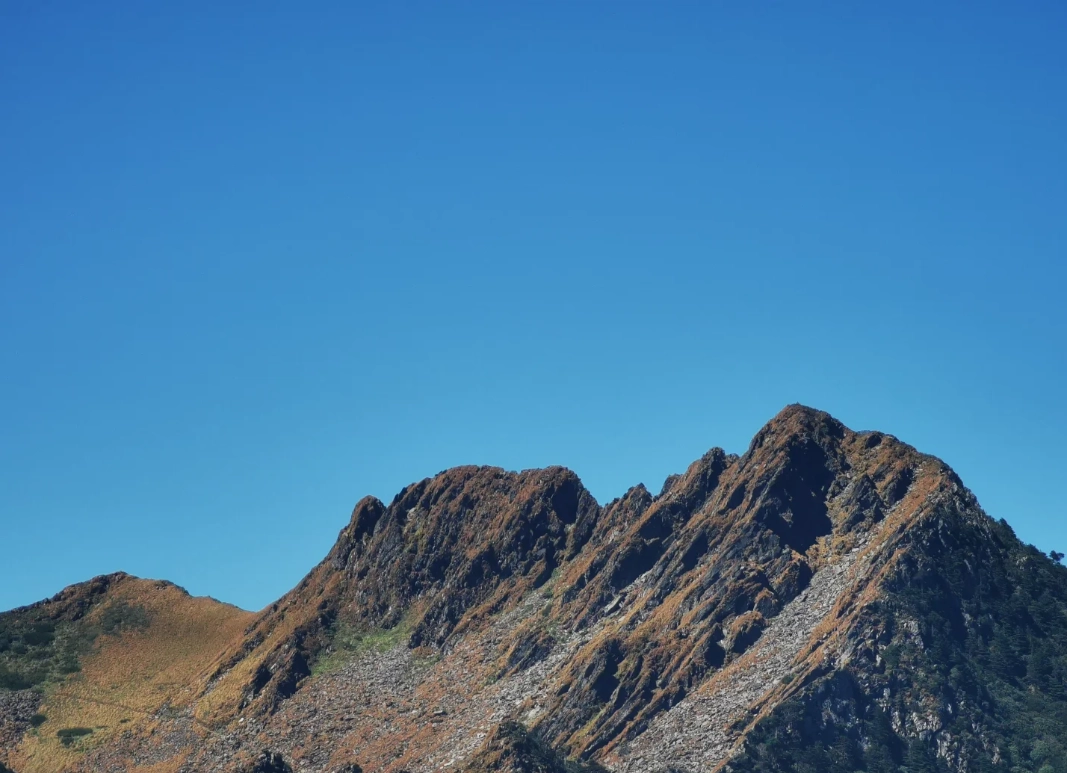
Best Hiking Trails on the Map
The Cangshan Mountain map shows dozens of trails, but only a few are well-maintained and signposted in English. Here are the three I recommend—ranked by effort.
1. Jade Belt Road (Easy, 2 km)
Flat, gravel path connecting Zhonghe and Ximatan stations. Takes about 40 minutes at a leisurely pace. Great views of Dali old town and Erhai Lake. Perfect for beginners.
2. Ximatan Lake Loop (Moderate, 3 km)
From the Ximatan cable car top station, follow the boardwalk around Longquan Lake and up to a smaller pond. Some stairs but no steep climbs. Expect wild rhododendrons in May.
3. Zhonghe to Gantong Ridge Trail (Hard, 6 km)
This is the scenic but strenuous option. Start at Zhonghe station, walk south on Jade Belt Road for 1 km, then take a steep side trail up to the ridge. You’ll be above 3000 m – altitude sickness possible. I only recommend this for experienced hikers with 4+ hours.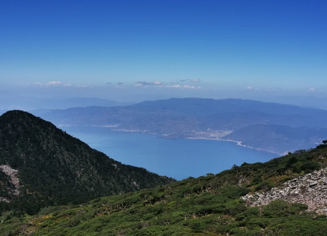
Time-Saving & Crowd-Avoiding Tips
Here are the little things that make a huge difference—stuff you won’t find in generic blog posts.
- Arrive by 8:00 AM. The first cable car runs at 8:30. If you’re at the gate by 8, you’ll be in the first batch. By 9:30, the queue snakes outside.
- Use the western entrance. Most tourists enter from the east side (near Dali old town). The west entrance (near the “Cangshan National Geopark” sign) is quieter and parking is easier. Get your driver to drop you there.
- Bring cash for the top. At the summit, the only shop accepts WeChat Pay and cash only. No credit cards. I always carry ¥100 in small bills for snacks or oxygen cans (¥30 each).
- Watch the wind. Cable cars stop running if wind exceeds 15 m/s. Check the weather app “Windy” before you go. If it’s gusty, switch to Gantong—it’s the lowest and least affected.
One more thing: the public toilets at the base station are usually clean, but the ones at the top are… questionable. Use the base station bathroom before you ride up.
FAQ – Real Questions from Travelers
Verified and fact-checked by the editorial team — prices and routes confirmed as of the latest visit.
No comments yet.