 Wei Zhang
Quick Navigation
You've seen the photos—emerald terraces, snow-capped peaks. But reaching Yubeng? That's a different story. I've guided dozens of groups here, and the biggest surprise is always the journey itself. Getting to Yubeng Village isn't a Sunday drive. It requires two days of travel from Shangri-La, and most online guides miss the crucial details.
The only reliable way is to first get to Deqin County, then take a local van to the trailhead at Xidang. Forget about direct buses from Shangri-La—they don't exist. Here's how to actually do it, without the fluff.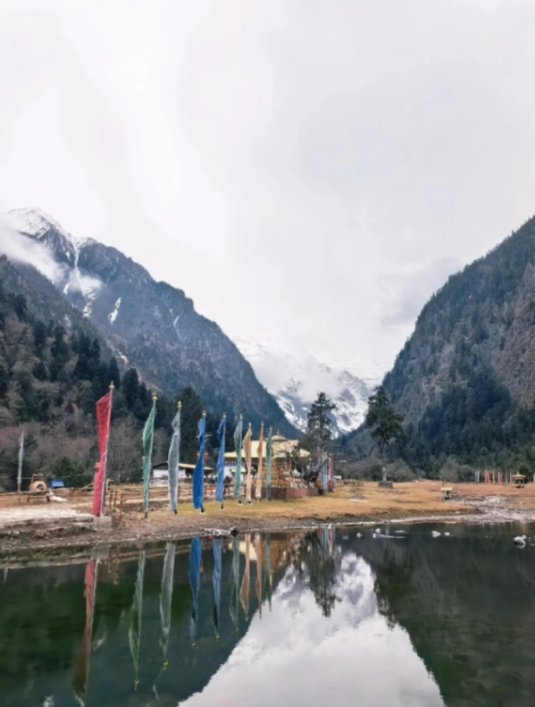
Why Yubeng Village Is So Hard to Reach?
Yubeng Village sits at 3,050 meters in the Meili Snow Mountain range, deep in Yunnan's northwest. No road goes directly to the village. You have to hike the last part. The infrastructure is basic: no train, no airport nearby. The nearest town with reliable transport is Deqin (Shengping), about 8 hours from Shangri-La by bus. And even then, you need to arrange a van to the trailhead.
Route Overview: Two Days Minimum
Day 1: Shangri-La → Deqin (by bus) → Xidang Hot Spring (by van) → hike to Upper Yubeng (2–3 hours). Day 2 is for exploring the village and the glacier. Most travelers spend at least one night in Upper Yubeng before hiking out via Nideng Village on Day 3.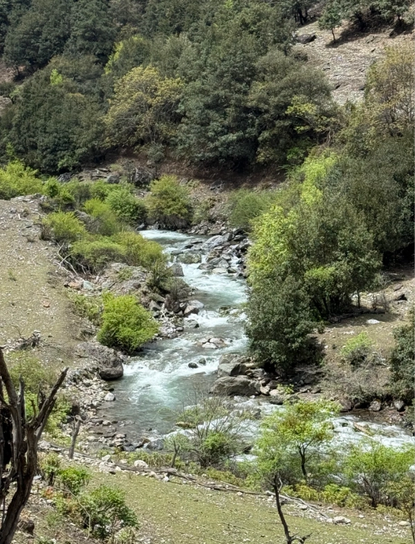
Step-by-Step: How to Get to Yubeng Village
Step 1: Shangri-La (Zhongdian) to Deqin (Shengping)
Take the morning bus from Shangri-La Bus Station to Deqin. Tickets cost around ¥60–70 and can be bought at the station or via Trip.com (search for “Shangri-La to Deqin”). Buses depart at 7:20, 7:30, 8:20, and 8:30 AM. The journey takes about 7–8 hours. Bring snacks and water—the stops are limited. The bus will drop you at Deqin Bus Station.
Pro Tip: Sit on the right side for epic views of the Jinsha River Gorge.
Step 2: Deqin to Xidang Hot Spring (Trailhead)
From Deqin, you need to catch a shared van or taxi to Xidang Hot Spring. Shared vans cost about ¥30–40 per person and leave when full. Alternatively, a private taxi costs ¥150–200. The drive takes 1.5 hours. The road is winding but paved. Ask your hostel in Deqin to help you arrange the van—they know the drivers.
Important: Make sure you arrive in Deqin by early afternoon so you have time to reach Xidang before dark. The last vans leave around 3–4 PM.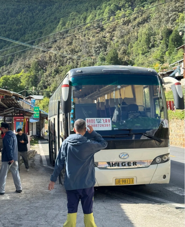
Step 3: The Hike from Xidang to Upper Yubeng
From Xidang Hot Spring (trailhead), the hike to Upper Yubeng is about 2–3 hours (6 km). The trail is well-marked but steep in sections. You'll gain about 400 meters in elevation. No need for a guide—the path is straightforward. But if you're not used to altitude, take it slow.
At the entrance, you'll pay a ¥55 environmental fee. Cash only—bring small bills. After that, start climbing. The first section is a series of switchbacks through pine forest. About halfway, you'll reach a small stupa with prayer flags. From there, it's another hour to the village.
What to pack: walking poles, rain jacket (weather changes fast), and at least 1 liter of water. There are no shops on the trail.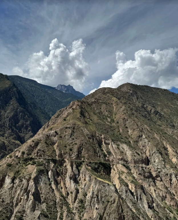
Alternative Route: From Feilaisi to Xidang
Many travelers stay overnight at Feilaisi (a viewpoint for Meili Snow Mountain) to catch sunrise. Feilaisi is about 20 minutes by van from Deqin. If you're staying there, you can take a van directly from Feilaisi to Xidang in the morning. Drivers charge around ¥100–150 per vehicle. This saves you backtracking to Deqin.
Comparison Table:
| Route | Cost | Time | Best For |
|---|---|---|---|
| Deqin → Xidang (shared van) | ~¥35 | 1.5 hrs | Budget travelers, solo |
| Feilaisi → Xidang (private van) | ~¥120 | 1.2 hrs | Those staying at Feilaisi, small groups |
Key Tips for Foreign Travelers
Payment & Navigation
Cash is still king in rural Yunnan. The bus station, van drivers, and the trail entrance all require cash. Bring enough yuan from Shangri-La or Deqin. Alipay and WeChat Pay are accepted in some hostels in Yubeng but not on the road. International credit cards? Forget it.
Navigation: Google Maps is useless in these mountains. Download Apple Maps or Gaode (AMap Global) before you leave. For the hike, offline maps (Maps.me) work well.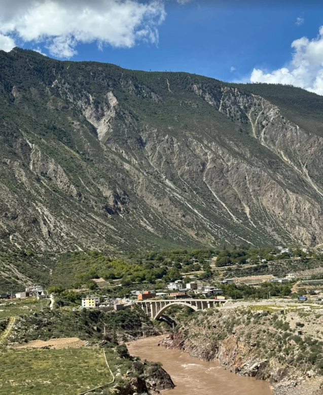
Altitude & Packing
Yubeng sits at 3,050m, and the hike from Xidang starts at 2,650m. Altitude sickness can hit even fit travelers. I always tell my clients: spend a night in Shangri-La (3,300m) to acclimatize before heading to Yubeng. Symptoms like headache and dizziness are common. Bring Diamox if you're prone to altitude issues.
Packing list: Hiking boots, warm layers (even in summer), sunscreen, a headlamp (for early starts), and a reusable water bottle. Don't bother with a big suitcase—leave it in Shangri-La and take a daypack.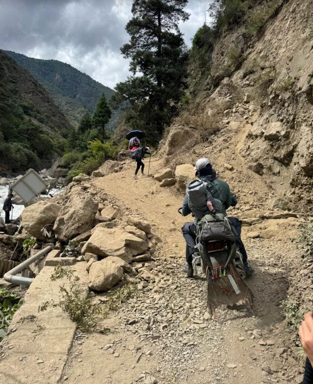
Frequently Asked Questions
Can I drive my own car to Yubeng Village?
No. There's no road into Yubeng. The closest you can drive is Xidang Hot Spring parking lot. From there, you must hike. The parking is safe (small fee), but I recommend leaving your car in Deqin and taking a van—the mountain roads are tricky for first-timers.
Do I need a guide to hike to Yubeng?
Not for the main trail from Xidang to Upper Yubeng. It's well-trodden and signposted. However, if you plan to hike to the glacier or over to Lower Yubeng, a guide (¥200–300 per day) can be helpful for navigation and safety. Don't attempt the glacier without a local guide—crevasses are real.
Is the trail safe in rainy weather?
The trail becomes slippery and muddy after rain. I've seen hikers twist their ankles on the wet stones. If it's pouring, delay the hike by a day. The path can also get flooded sections. Check the weather: July–August is monsoon season; October–November is ideal.
Can I visit Yubeng in one day from Shangri-La?
Technically no—driving alone is 8 hours each way. The only way to do a day trip is to fly to Deqin's airport (if it's open—flights are often cancelled due to weather). Even then, you'd need a helicopter. Realistically, budget three days: day 1 travel, day 2 explore, day 3 hike out and return.
What about internet and electricity in Yubeng?
Both are available but spotty. Most guesthouses have Wi-Fi (speed varies). Mobile data (China Mobile/Unicom) works in the village. Bring a power bank because outlets in rooms are limited. No VPN? Set it up in Shangri-La before you lose signal.




I used this guide in late October and had an unforgettable time. The author clearly knows the trail well – the suggestion to leave early to catch the morning light on Meili Snow Mountain was pure gold. The logistics part (how to combine the shared van from Deqin) saved us a ton of hassle. Also appreciated the little phrasebook-like note for asking locals for directions – came in handy once when I misread a fork in the trail. This isn't just a route guide; it's a companion for the journey. Wish I'd found it sooner!
Can't praise this guide enough. I've read a few blog posts about the Yubeng route, and most of them are just copied notes with blurry photos. This one is the real deal. The detail on the terrain – especially the switchbacks after the Tea House – made me mentally prepared for the final push. Also loved the note about the small bridge near Nanzong Pasture; that's where I've seen so many people wander off in the past. Clear, accurate, and everything I needed. 5 stars, without a doubt.
This guide was an absolute lifesaver. Our whole trip was thrown together last minute, and I had zero time to research Yubeng properly. This article gave me everything: how to get from the bus station in Shangri-La, where to transfer, what to expect on the plank road, and even a warning about the steep, slippery section near the top. Because of that heads-up, I wore my trail runners instead of sneakers – best decision ever. Made it to Yubeng without a single wrong turn. Highly recommend reading this twice before you go!
Really solid overview of the route to Yubeng. I've done a fair amount of trekking in Yunnan, and this matched my experience almost exactly. The tips about bringing your own lunch before you start the descent were spot on – nothing worse than paying tourist prices for instant noodles at the rest stop. Only reason it's not a 5? I wish it included the actual bus schedule from Deqin to Xidang, since that's the kind of thing that changes seasonally. Otherwise, a very helpful piece.
Honestly, this guide is good but not perfect. We followed it from Deqin and found the directions clear up until around the Wunong checkpoint. After that, the described turn-off wasn't as obvious as the article made it sound, and we ended up backtracking for about 30 minutes. We still made it to Yubeng, but I'd have liked more precise cues (like a specific tree or white marker) instead of just 'follow the main trail'. Decent starting point, but don't rely on it alone.