 Jian Zhao
Quick Jumps
My phone died at 2,000 meters. No map, no signal. That day I learned the hard way that a physical Mount Hua map is worth its weight in gold. You're probably wondering which trail to take, how to avoid the crowds, and if you can pay with your card up there.
Here's the truth: most foreign tourists waste hours at the wrong entrance or miss the best photo spots because they relied solely on Google Maps. This guide gives you a real Mount Hua map — not just a digital screenshot, but the exact routes, cable car secrets, and timing hacks I've tested with hundreds of clients.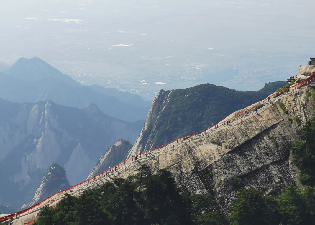
Why You Need a Real Map (Not Just Google Maps)
Google Maps doesn't show the hiking trails inside the scenic area. The official Mount Hua map is a printed card you can buy at the ticket office for 5 RMB, but it's in Chinese only. I always grab two — one for the wall, one for my pocket. Here's why it matters:
- Trail junctions are unmarked in many spots. The map shows you which fork leads to a dead end or a shortcut.
- Restrooms and food stalls are marked accurately. Not all peaks have toilets — East Peak's is notoriously packed at sunrise.
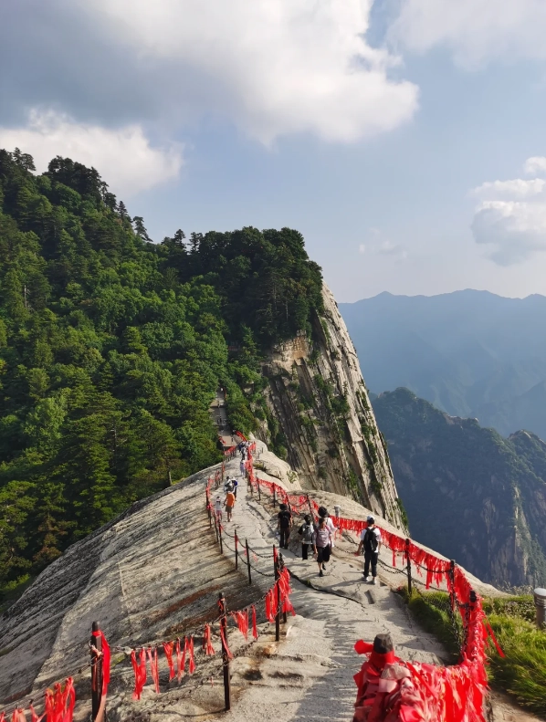
- Danger zones like the Plank Walk are indicated. No map means you might walk past the entrance (I've seen it happen).
The Five Peaks at a Glance
Mount Hua has five main peaks arranged like a flower. Each has a personality:
| Peak | Elevation (m) | Difficulty | Best for |
|---|---|---|---|
| North Peak (Cloud Terrace) | 1,614 | Easy (cable car) | First-timers, families |
| West Peak (Lotus) | 2,086 | Moderate | Sunset, less crowded |
| South Peak (Landing Wild Geese) | 2,154 | Hard (Plank Walk) | Thrill seekers, highest point |
| East Peak (Sunrise Viewing) | 2,096 | Moderate | Sunrise (arrive by 5 a.m.) |
| Middle Peak (Jade Maiden) | 2,042 | Easy | Short rest, connect routes |
How to Choose Your Route (East, West, or Classic?)
Most first-timers go for the Classic Route: North Peak up → East Peak for sunrise → South Peak → West Peak down. It takes about 8–10 hours with stops. But here's the catch — if you're not an early bird, do the reverse: West Peak up at 9 a.m., then hike counterclockwise. You'll dodge the crowds and get softer light for photos.
For a relaxed day, take the cable car to West Peak, stroll to South Peak (the highest), then back down. No steep climbs. I always recommend this for clients with knee issues or those who hate stairs.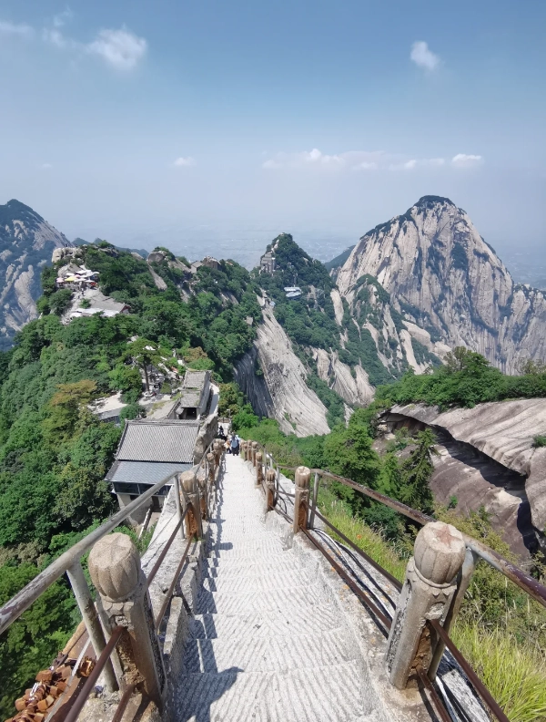
Route Comparison Table
| Route | Time | Effort | Scenery | Who |
|---|---|---|---|---|
| Classic (North up, West down) | 8–10 h | High | Varied | Fit hikers |
| West up & down (cable car) | 4–5 h | Low | Main peaks only | Leisure tourists |
| Full traverse (North to South) | 10–12 h | Very high | All five peaks | Seasoned trekkers |
Ticket Booking Nightmare? Here's the Fix
Yes, you need to pre-book tickets — especially during holidays. The official WeChat mini-program (search "华山景区") is Chinese-only. My trick: ask your hotel receptionist to book for you, or use Trip.com (English interface). They charge a small fee (~5 RMB) but save you the headache.
- Ticket price: 160 RMB (peak season Mar–Nov), 100 RMB (off-season Dec–Feb). Student ID gets 50% off, but only for Chinese students. International student cards rarely work — I've seen it fail many times.
- Cable car prices: North Peak cable car 80 RMB one-way, West Peak cable car 140 RMB one-way. Round-trip combo: 200 RMB for north, 280 RMB for west. Buy at the station with cash or WeChat Pay. International credit cards? No luck. Bring cash or get a Chinese friend to scan your code.
- Hours: Scenic area opens 7 a.m. to 6 p.m. (last entry 4 p.m. for hikers). Cable cars run 7:30 a.m. to 5 p.m. Last descent from West Peak at 5:30 p.m. — miss it and you're walking down 3 hours in the dark.
Cable Cars vs. Hiking: What I Recommend
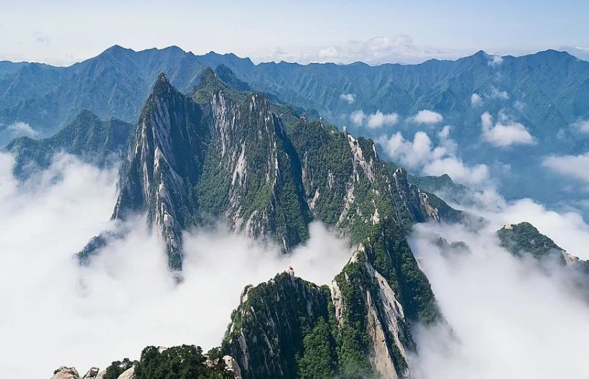
Hiking from the base to North Peak takes about 4 hours up and 3 hours down. It's steep and monotonous — just stairs after stairs. I only recommend it if you're training for a marathon. Otherwise, take the cable car up and save energy for the peaks themselves. The North Peak cable car is faster (8 minutes) but bumpy; the West Peak one is newer (15 minutes) with glass floors — my clients love it.
One hidden gem: the Plank Walk on South Peak. It's not for the faint-hearted: you clip into a safety line and walk on planks bolted to the cliff. Cost: 30 RMB (cash only). I've done it dozens of times, but I still get a little dizzy. Skip it if you're afraid of heights.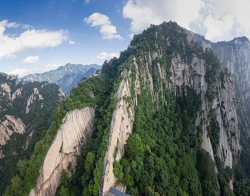
Insider Tips for Sunrise at East Peak
Sunrise from East Peak is magical, but it's also a zoo. Here's how to beat the madness:
- Arrive by 4:30 a.m. (earlier in summer). The top platform fills up by 5 a.m. I tell clients to stay overnight at a peak-side hostel — they cost 100–200 RMB per bunk bed, but it's worth it. Book two days ahead via WeChat.
- Wear a headlamp — the trail from North Peak to East Peak is pitch black before dawn. Many tourists trip on loose stones.
- Bring a light jacket even in summer. The wind at 2,000 meters is brutal. I once saw a guy in shorts shivering uncontrollably.
The best sunrise spot is the small pavilion to the left of the main viewing deck. It's less crowded and has a better angle. My secret spot: walk 100 meters past the pavilion to the 'Fairy Bridge' — you'll have the whole sky to yourself.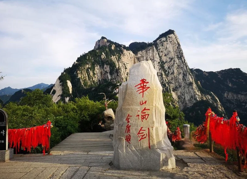
No comments yet.